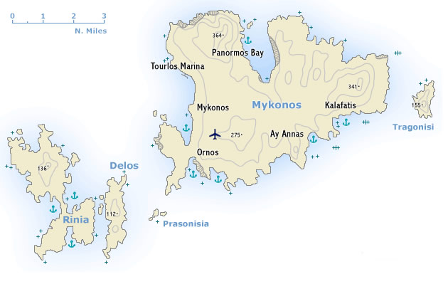
 Μύκονος was once one of the most important trading centres in the western Aegean. Its arid and only moderately fertile soil permits only a modest development of agriculture, but its beautiful beaches have made it one of the most popular holiday islands in the Aegean. Indeed, the new marina port is growing in popularity and is actually becoming a small charter base from which you can hire charter yachts to start your sailing holiday. Moreover, it has a flourishing craft industry and Mykonos is also the starting point from which to visit the neighbouring island of Delos.
Δήλος, is likewise a rocky island and lies 5 nm south-west of Mykonos and it is one of the smallest of the Cyclades. Yet, Apollo was born on Delos and the island was therefore of great importance in antiquity. Indeed, the Cyclades were so called because they were seen as lying in a circle (kyklos) round this sacred island.
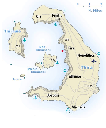 Thira together with the smaller islands of Thirasia and Aspro are part of a volcanic crater, which has been engulfed by the sea. In the centre are the Kameni -
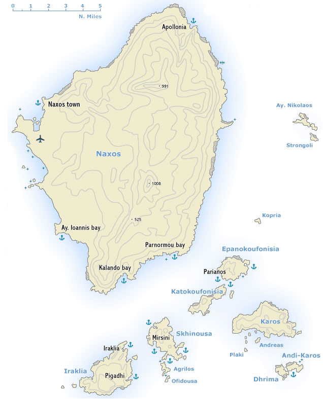 The largest and one of the most beautiful of the Cyclades, Naxos -
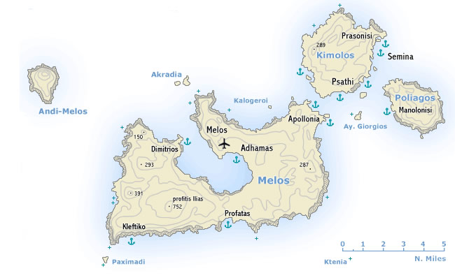
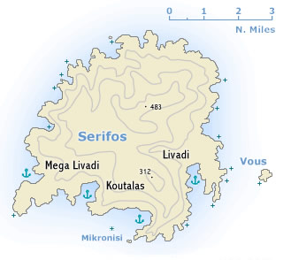 The island’s main sources of income are its modest agriculture and its open-cast iron mines, which have been worked since ancient times. The ore used to be shipped from Koutalas on the south coast, where there is now room to anchor (magnetic anomalies are reported due to the remaining ore!).

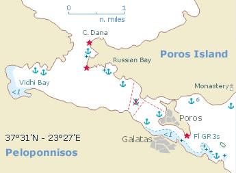
 The Hydra gulf lies between the saronic gulf and the argolic gulf and is a one of the most popular yacht charter areas in Greece. The island of Hydra -